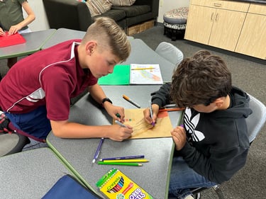
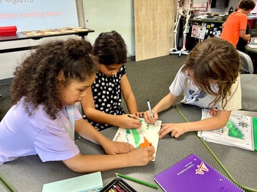
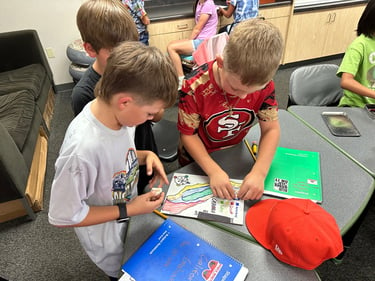
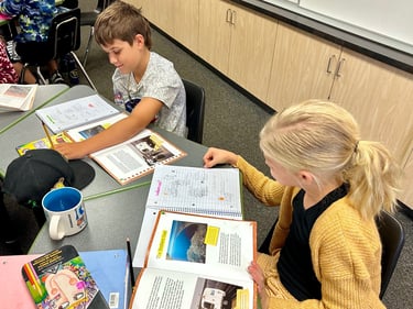
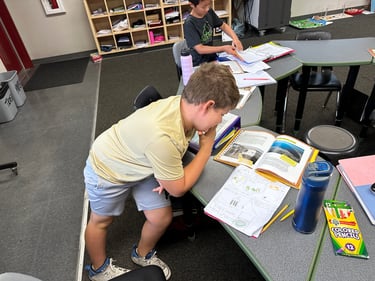
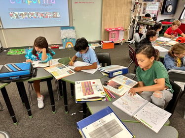
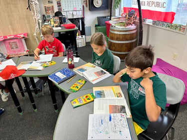
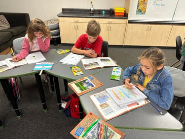
Students will begin by reading selected texts, and learning about California's physical regions (mountains, valley, desert, coastal). As they learn, they will take illustrated notes in their social studies notebooks.
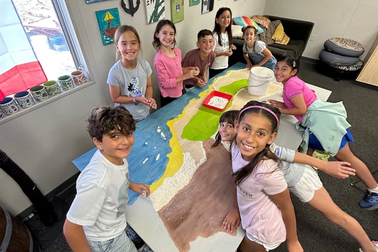
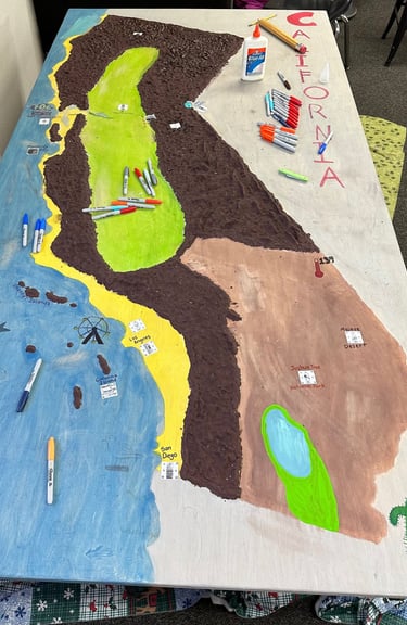
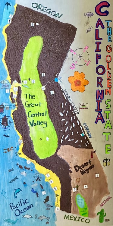
After completing their partner maps, students will work collaboratively to create a 8-foot by 4-foot wood map of California. Teams and individuals will use salt dough to create mountain ranges, then color-wash other regions and the Pacific Ocean. They will use "Elmer's Blue" to create bodies of water, then label these physical features. After this part is complete, students will work in teams to research specific areas of interest in California, using the Visit California website. They will use Canva to create welcome billboards and infographics, then link them to QR codes, which will be adhered to the map. Lastly, students will clean and decorate the map with California symbols (flora, fauna, landmarks, etc.), and sign it underneath.
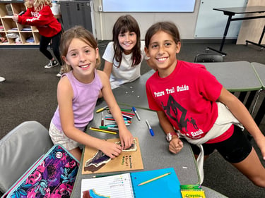
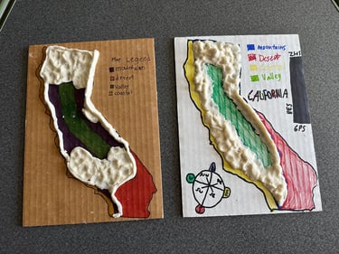
Following their independent work, students will work in pairs to create small salt dough maps of California, focusing on physical regions, with a map legend and compass rose. During this phase, students will also watch the Disney film McFarland, USA (PG) in order to better understand the small farming communities of the Central Valley Region.
